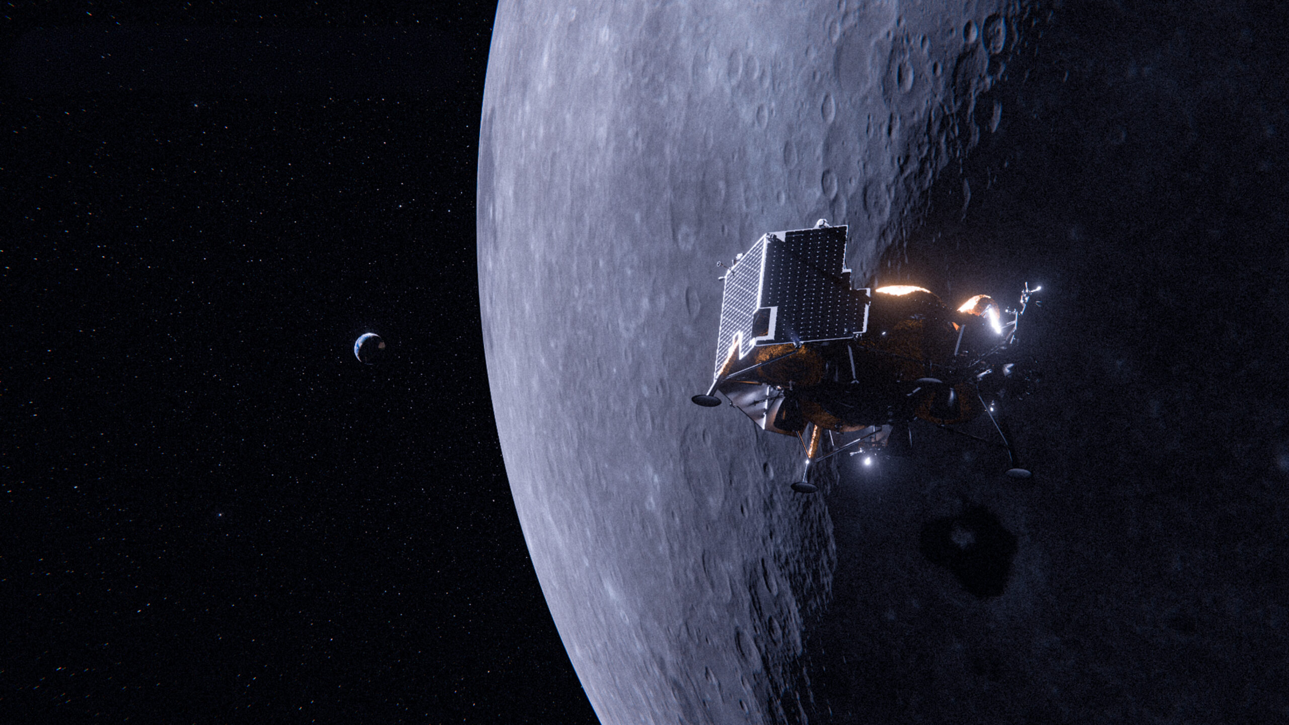
A successful lunar landing starts with site selection
The Sea of Tranquility was chosen as the first lunar landing location in July 1969 because of its smooth, level terrain. However, as Lunar Module Eagle neared the lunar surface, Neil Armstrong noticed an almost 600-foot-wide crater surrounded by large boulders directly beneath them. Armstrong manually took control of the lunar module and flew to another area roughly 3.7 miles away from the original landing site.
For Voyager’s Griffin-1, expected to launch with 10 payloads in late 2026 as part of NASA’s Moon Base, a dedicated team assessed illumination and site accessibility and performed line-of-sight and hazard analyses before determining the optimal lunar landing ellipse.
“Griffin-1 recently passed environmental testing, and the same rigor that went into building the lander goes into deciding the landing location,” said John Thornton, executive vice president, Lunar Systems, Voyager. “Our team has been diligently running repeated landing simulations to give us the highest assurance of a safe and precise landing near Mons Mouton at the South Pole.”
The Making of a Good Landing Site
When selecting a landing site, the first hurdle is finding which sites are reachable given the constraints of the launch vehicle and the lander’s engines and sensors. Depending on the distance between the Earth and Moon during certain times of the year, some preferred landing sites at the South Pole may be inaccessible.
Time of day also plays a role. Current landers are designed to land in the light for two reasons: first, landing drains the batteries, so recharging them via solar panels is the first priority after touchdown in order to operate payloads and keep electronics warm; second, the camera sensors that enable precision landing need sufficiently illuminated terrain along the approach trajectory to function. At the lunar poles, the Sun sits low on the horizon, resulting in long sweeping shadows. Any inaccuracy in the terrain maps can mean the horizon is higher or lower than anticipated, shifting sunrise, sunset and Earth-rise time projections by as much as an hour or two.
Voyager has two in-house tools, DEMkit and LunaRay, that are used to generate, examine and validate high-resolution topography data and produce accurate renders of the lighting locations on the lunar surface for any location and time. This mission-grade software can also generate ground station line-of-sight and Earth position maps for telecommunications planning.
How to Avoid Hazards
Just like Armstrong and the Lunar Module Eagle, the goal is to avoid landing in a boulder field, at the bottom of a crater or on the side of a mountain. These large, shadowed regions and high-contrast geological areas can deprive sensors of the data needed for a precise landing, requiring a hazard analysis.
Large boulders and fresh craters observed in orbital data for a region suggest there could be smaller unseen rocks nearby, so those areas are avoided. Then, slope, roughness, and rock and crater characterization statistics are derived from data, such as custom elevation maps, and checked against the needs of the lander and its cargo. Voyager developed terrain relative navigation and LiDAR-based hazard detection and avoidance systems to localize relative to the lunar surface in the absence of GPS, scan the landing ellipse during final descent and divert to the best spot — a feature the team colloquially refers to as “Neil Armstrong in a box.” Even still, the goal is to make the system’s job as easy as possible by selecting an appropriate site with few hazards.
The Griffin lander’s wide stance can easily tolerate a 10-degree slope, but that could still be too steep for its payloads to optimally perform their tasks. Rovers, for instance, need to stay within a certain distance of the lander and maintain a clear line-of-sight for communications. A 3D analysis of the site’s topography informs rover mast height, lander antenna placement and payload mounting to ensure power, communications and other constraints for the mission.
Still, the exact touchdown point, orientation and tilt of the lander within a landing ellipse is uncertain, so thousands of possible combinations must be evaluated to ensure mission requirements hold anywhere within the ellipse.
Test Like We Fly
Successfully landing on the Moon and carrying out surface operations remains the only way to know for certain you’ve designated a good landing spot. The second-best way is end-to-end landing simulations with actual hardware in the loop.
Once a site is chosen, lander models, models of all onboard sensors and lunar maps are input into a physics-based simulation where the entire landing from orbit to touchdown can be run repeatedly. This is Voyager’s “test like you fly” approach in action.
The simulations validate the lander’s performance under worst-case assumptions. If two-thirds of the images fail to yield good measurements or LiDAR range is lower than expected, can Griffin-1 still meet all landing requirements? The lander systems are designed to be highly robust against any performance degradation, allowing for a safe, precise touchdown within the landing ellipse.
“There isn’t time to analyze every possible landing site on the Moon, and there’s no one perfect Goldilocks region, either,” said Andrew Horchler, chief research scientist, Lunar Systems, Voyager. “The right landing spot depends on your spacecraft, sensors, mission objectives and the payloads onboard. For Griffin-1, our team believes we’ve verified a site that will meet all constraints for a successful landing and surface mission.”